1891 Fruitlawn Land Sale Map Clarke County and similar items
1891 Fruitlawn Land Sale Map Clarke County WA Gem Of Suburban Tracts RARE
$5,535.68 MXN
View full item details »

Las opciones de envío
No hay precio de envío se especifica en MX
Los buques de
United States

Política de oferta
OBO - El vendedor acepta ofertas en este artículo.
Detalles
La política de devoluciones
None: All purchases final
Protección de compra
Opciones de pago
PayPal accepted
PayPal Credit accepted
Venmo accepted
PayPal, MasterCard, Visa, Discover, and American Express accepted
Maestro accepted
Amazon Pay accepted
Nuvei accepted
View full item details »
Las opciones de envío
No hay precio de envío se especifica en MX
Los buques de
United States
Política de oferta
OBO - El vendedor acepta ofertas en este artículo.
Detalles
La política de devoluciones
None: All purchases final
Protección de compra
Opciones de pago
PayPal accepted
PayPal Credit accepted
Venmo accepted
PayPal, MasterCard, Visa, Discover, and American Express accepted
Maestro accepted
Amazon Pay accepted
Nuvei accepted
Rasgos del artículo
| Categoría: | |
|---|---|
| cantidad disponible: |
Sólo uno en stock, para muy pronto |
| Condition: |
Unspecified by seller, may be new. |
| Original/Reproduction: |
Antique Original |
| Date Range: |
1800-1899 |
| Year: |
1891 |
| Country/Region: |
United States of America |
| Format: |
Sheet Map |
| Type: |
Land Sale Advertising / Promotional Map |
| US State: |
United States/Washington |
| Color: |
All colors are original. |
| Cartographer/Publisher: |
D. H. Stearns |
| City: |
Vancouer / Ridgeifeld |
Detalles del anuncio
| Las políticas del vendedor: | |
|---|---|
| Envío de descuento: |
No ofrece el envío combinado |
| Publicado en venta: |
Más de una semana |
| Artículo número: |
1754787121 |
Descripción del Artículo
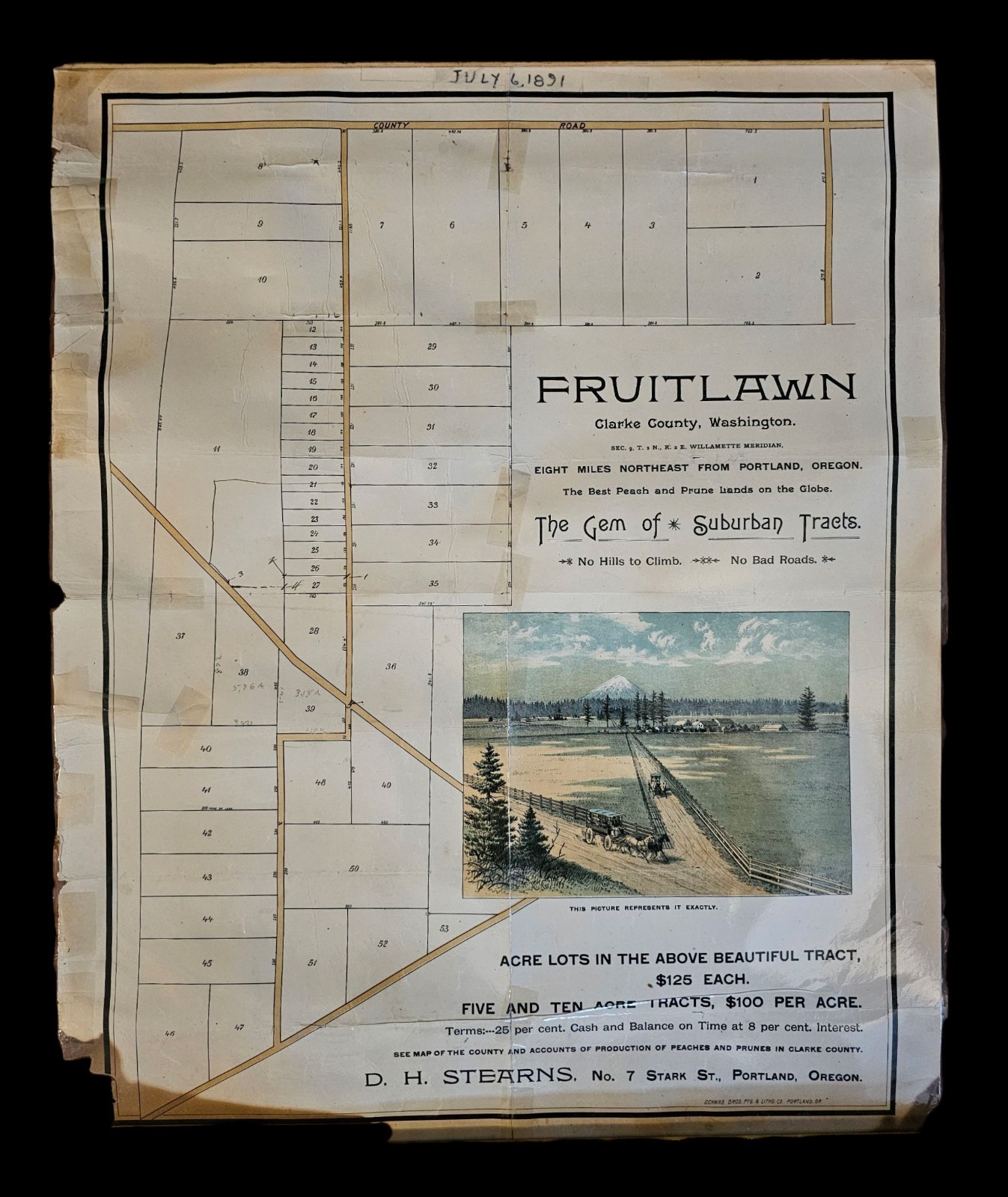
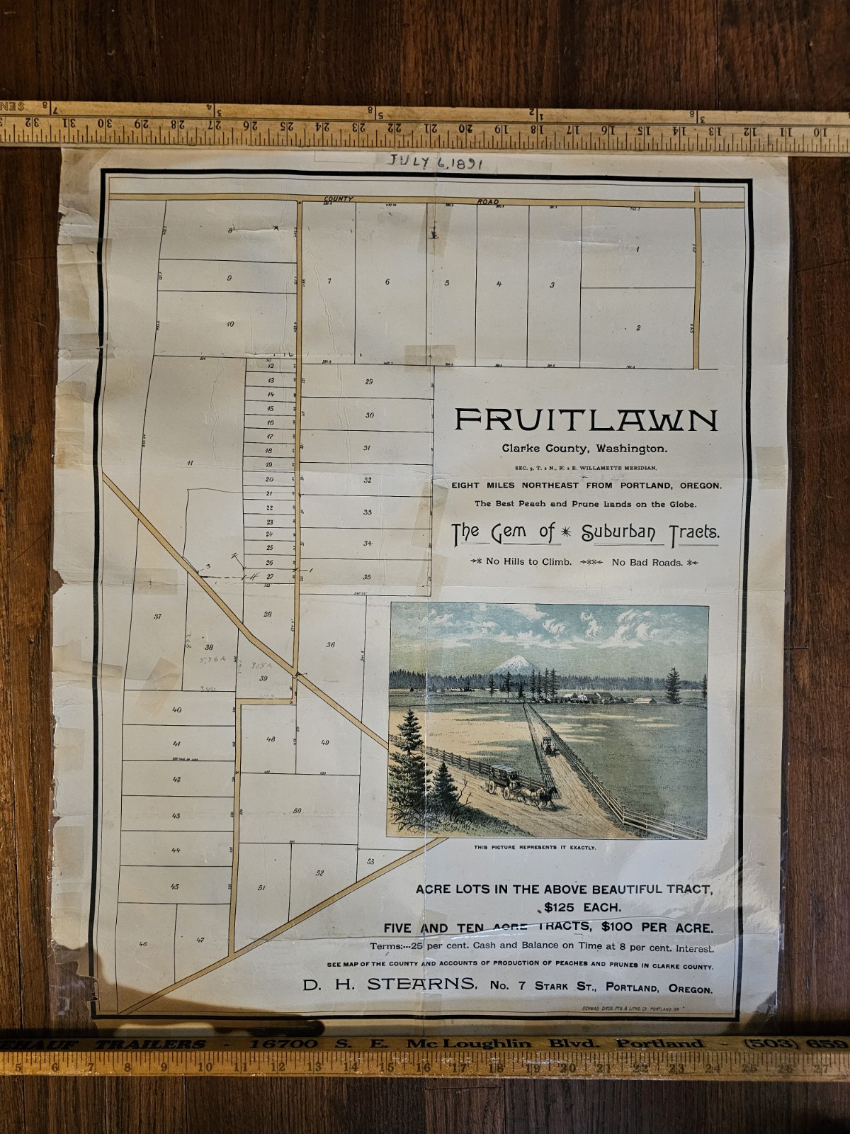
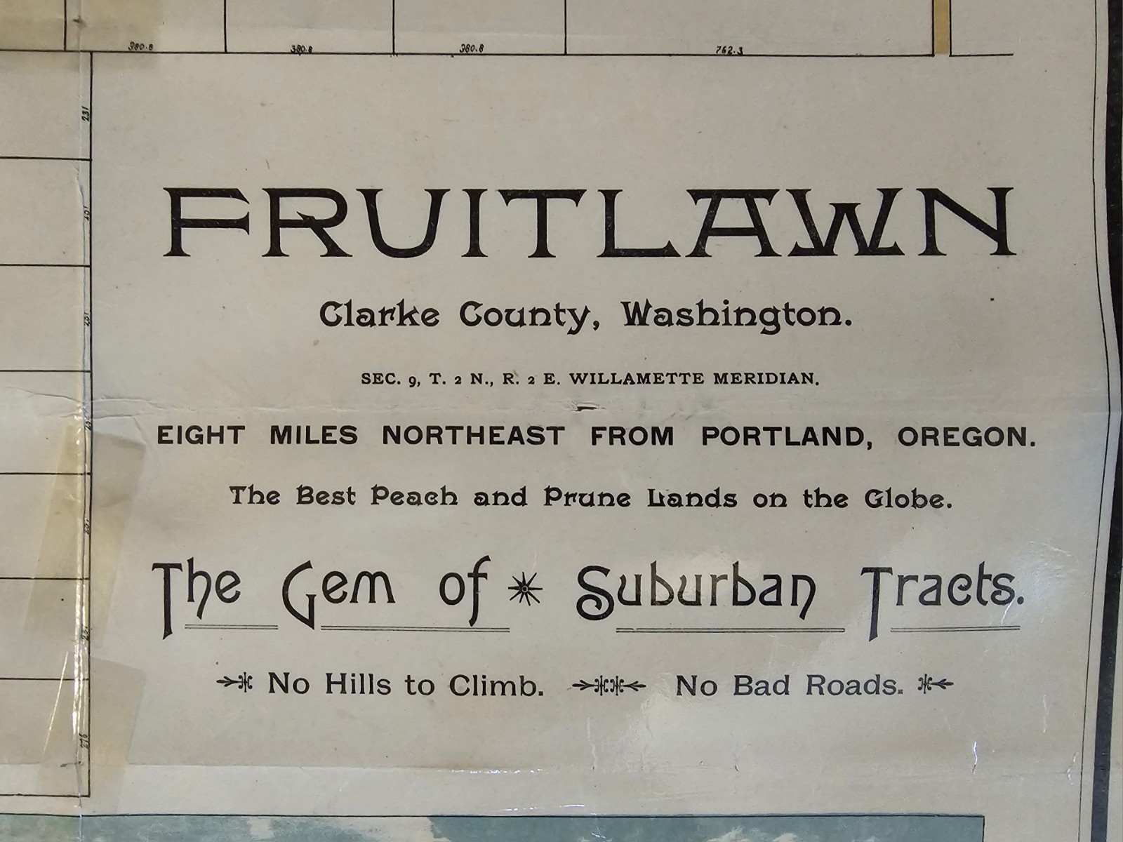
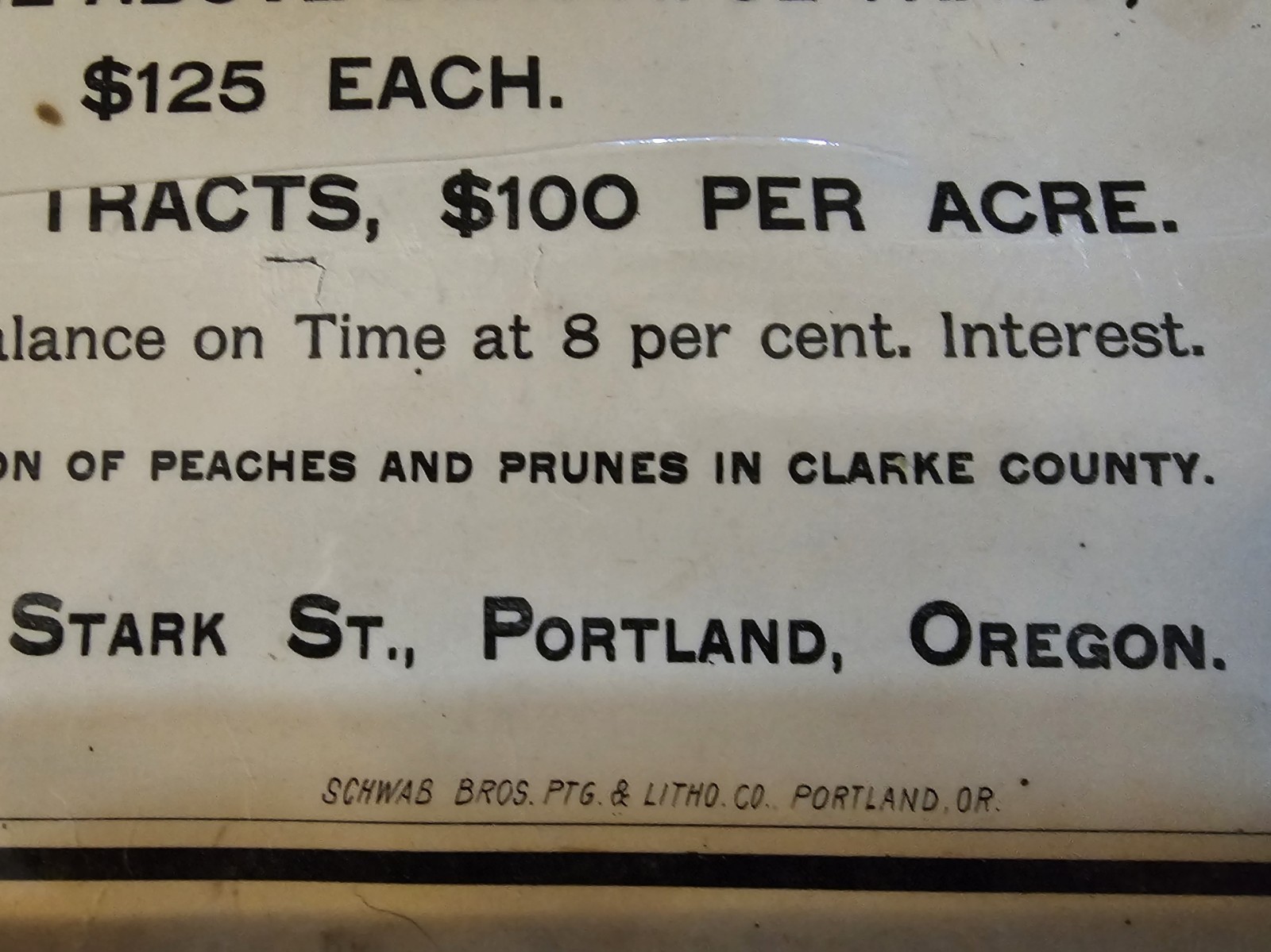
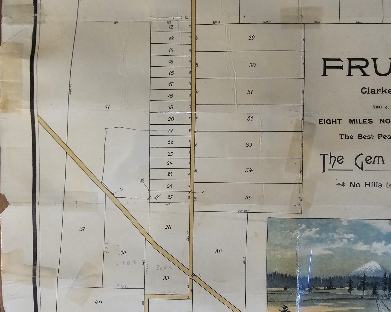
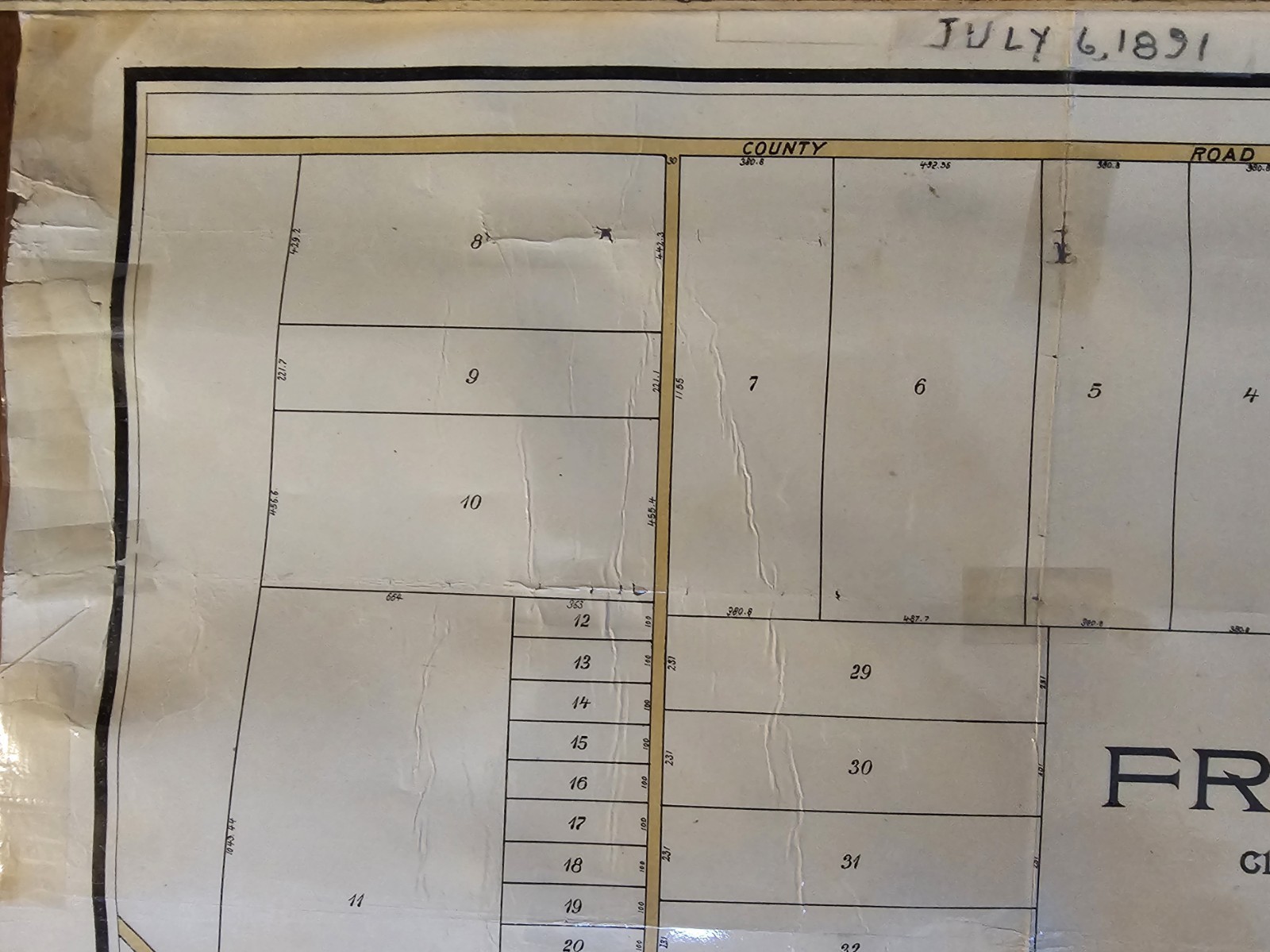
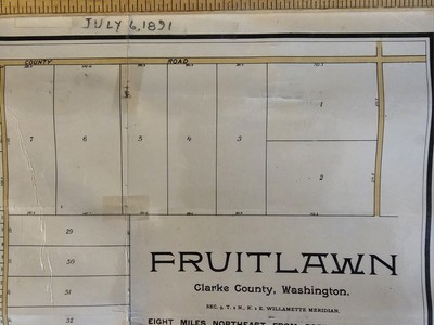
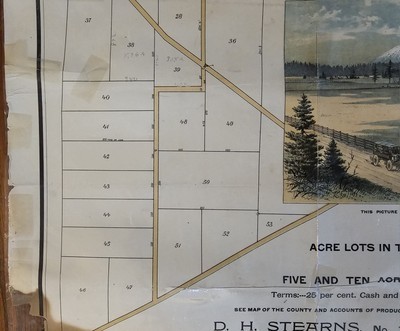
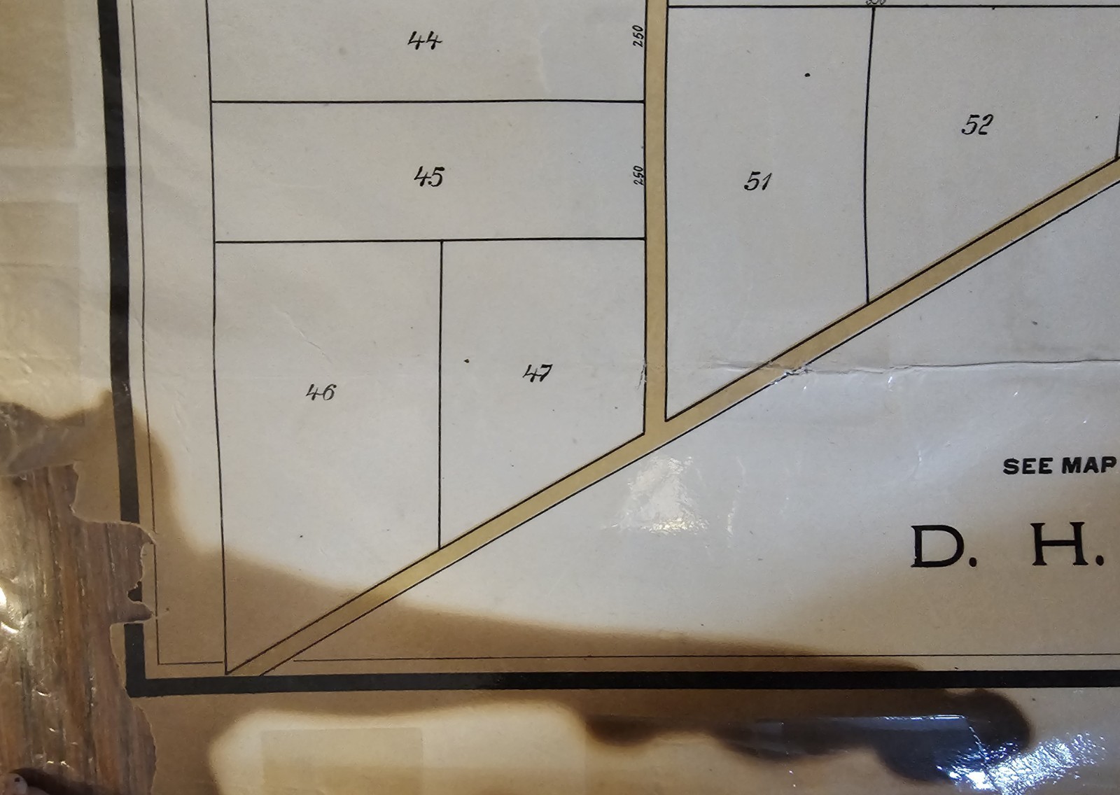
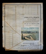
UP FOR SALE: Antique 1891 Land Promotion Map ? Fruitlawn, Clarke County, Washington
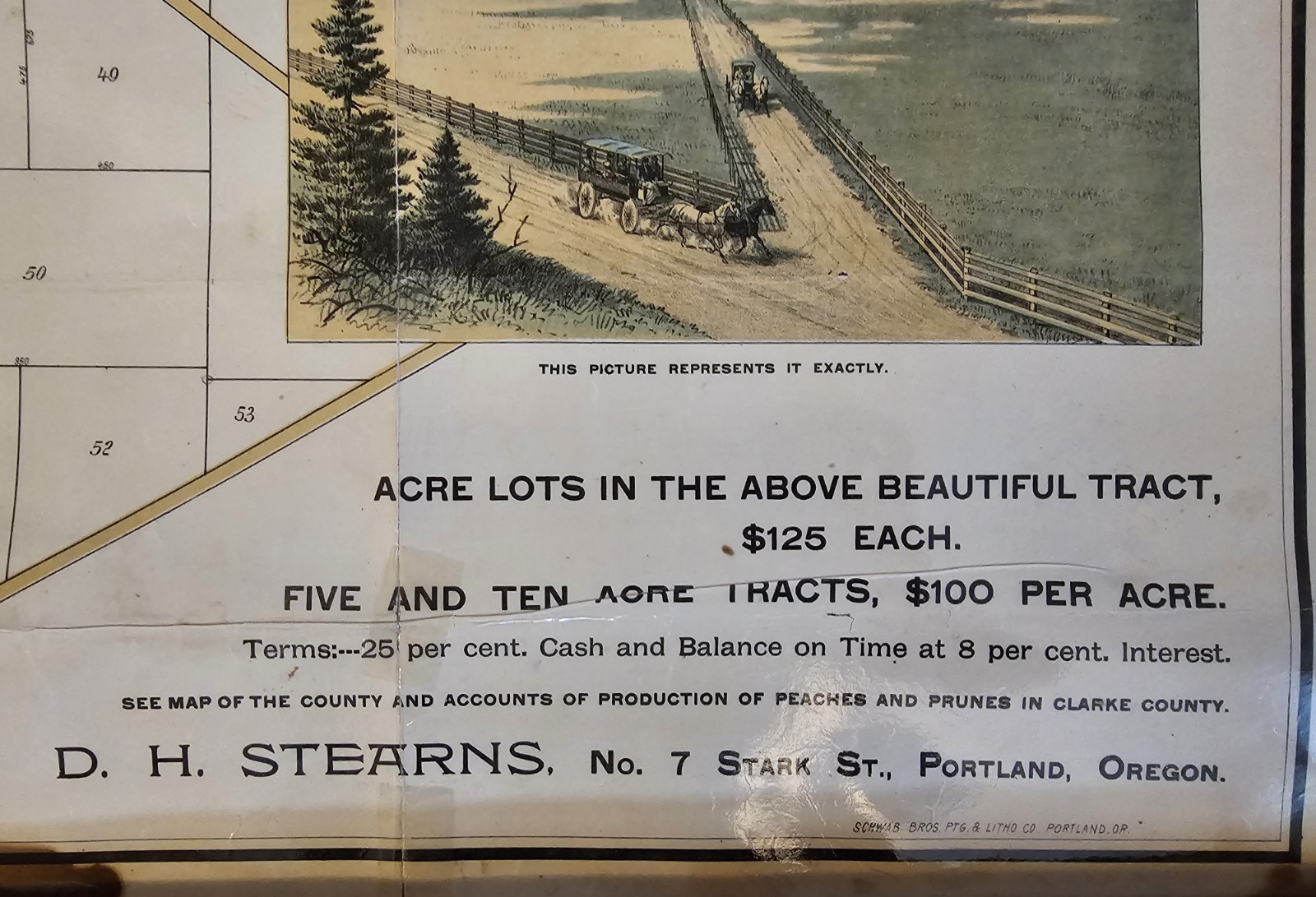
Original real estate advertising broadside map from 1891, promoting Fruitlawn ? described as ?The Gem of Suburban Tracts.? Located in Clarke County, Washington, and promoted via agents in Stark Street, Portland, Oregon, this historic document was part of a land sales campaign offering 5- and 10-acre tracts for $125?$150 per parcel.
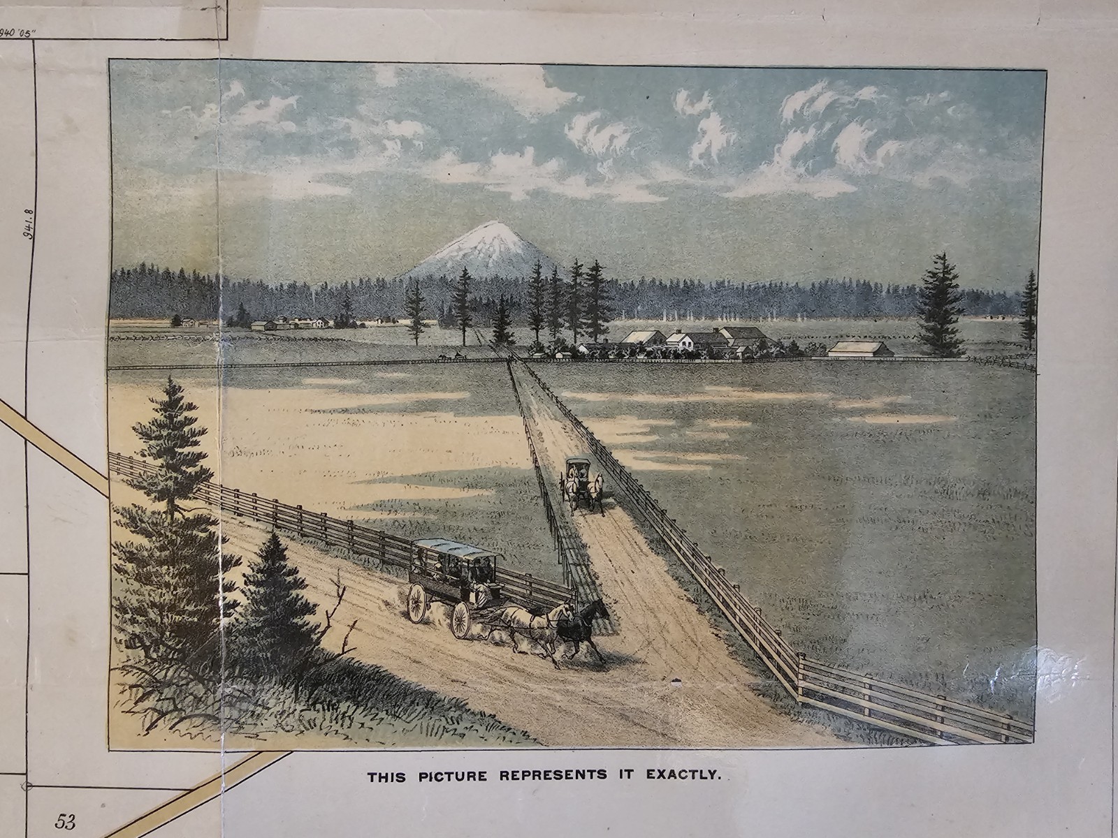
The map shows planned lots, an inset color lithograph illustration of the surrounding area, and period pricing/financing details.
Details:
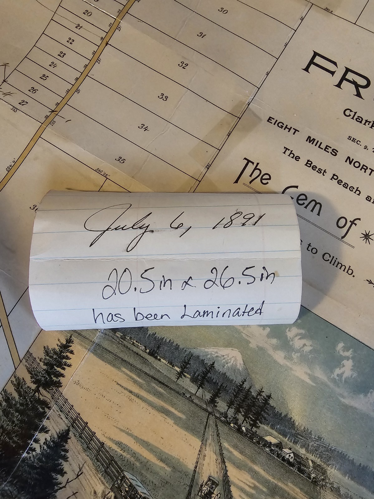
Date: July 6th, 1891 (printed top center)
Publisher: D.H. Stearns Co., Portland, OR
Location: Clarke County, Washington (pre-statehood spelling)
Size: Approx. 14" x 17" folded
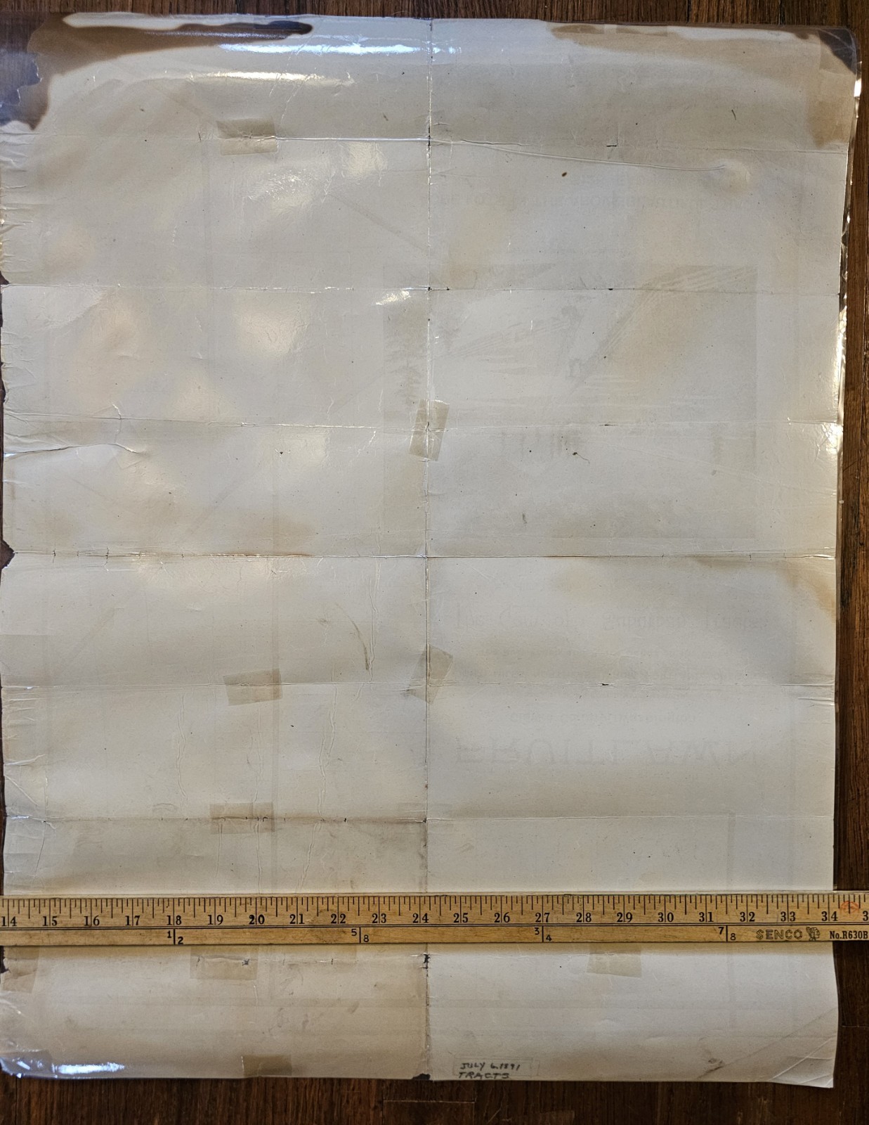
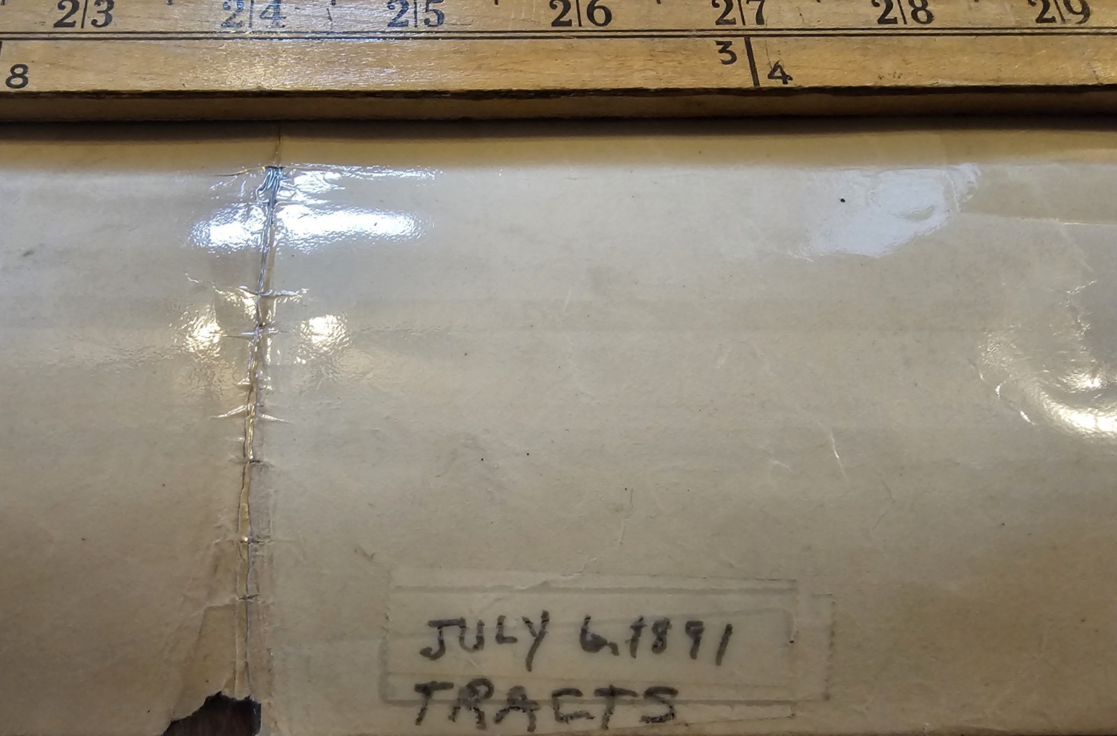
Condition: Edge tears, fold separations, age discoloration, it was laminated at some point in time. See all photos.
A rare piece of Pacific Northwest development history?especially collectible for those researching Clark County land sales, early Portland suburbs, or historical cartography.
AS IS AS SHOWN ? Please check out all the pics and zoom in for the best look. Photos tell the story better than I ever could! Thanks so much for looking!
Vintage and secondhand goodies usually have some character (aka flaws). I do my best to describe everything honestly, but I?m no expert. What you see is what you get.
All my stuff comes from a smoke-free home and gets a good cleaning before it heads out.
I ship Monday through Saturday fast and packed with care!
Colors might look a little different depending on your screen and lighting.
Props are just for show -- only the item(s) listed in the title are included.
Got a problem? Message me first! I'm easy to work with and want you to be happy!
Poke around my store if you want, I am happy to bundle shipping!
Visit my Store for more great finds!
Loading
Este artículo ha sido añadido a su carrito
 1891 Fruitlawn Land Sale Map Clarke County WA Gem Of Suburban Tracts RARE added to cart.
Único disponible en stock
1891 Fruitlawn Land Sale Map Clarke County WA Gem Of Suburban Tracts RARE added to cart.
Único disponible en stock
Ver el carro o seguir comprando.
 Por favor, espere mientras termine de agregar este artículo a su carrito.
Get an item reminder
We'll email you a link to your item now and follow up with a single reminder (if you'd like one). That's it! No spam, no hassle.
Already have an account?
Log in and add this item to your wish list.