Rendered at 00:20:47 12/14/25


Envío gratis
22 recent views
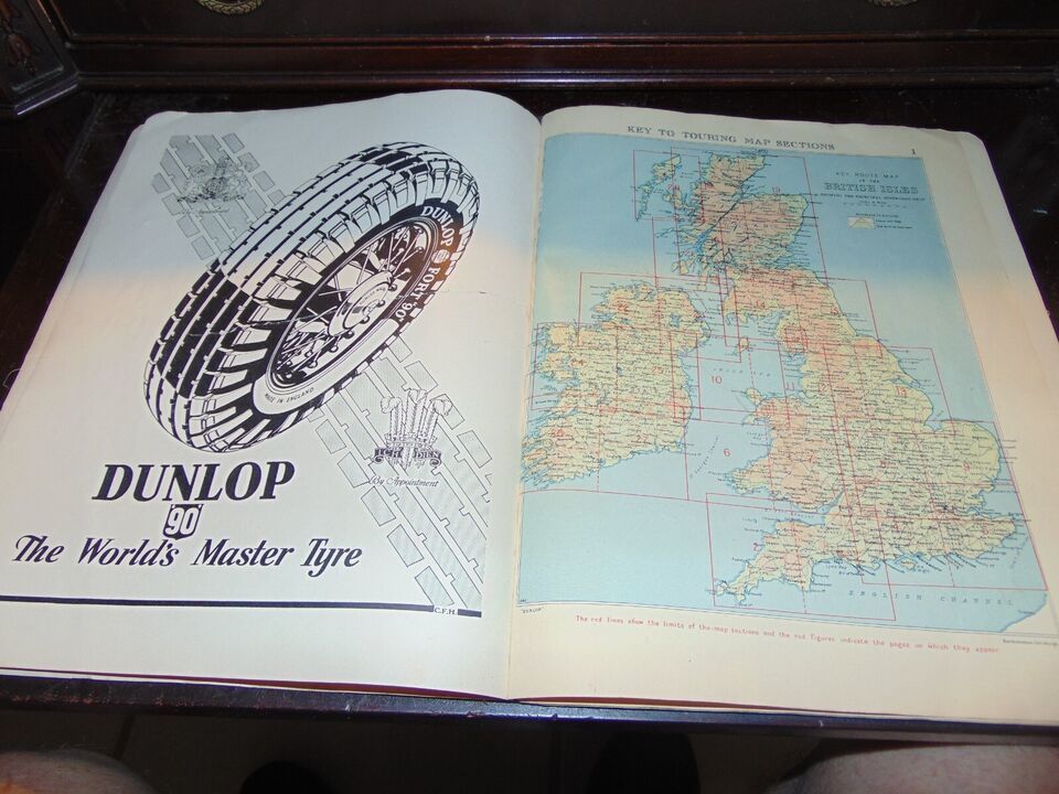
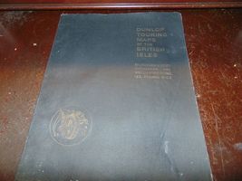
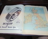
1940s Dunlop Touring Maps of the British Isles With Contours Coloured FREE SHIP
Los buques de
United States

Share & earn! Sign in, share this or any listing, and you’ll get commission when it sells.
Learn more
Las opciones de envío
Los buques de 3 business days Detalles
No hay precio de envío se especifica en MX
Los buques de
United States
Política de oferta
OBO - El vendedor acepta ofertas en este artículo.
Detalles
La política de devoluciones
Protección de compra
Opciones de pago
PayPal accepted
PayPal Credit accepted
Venmo accepted
PayPal, MasterCard, Visa, Discover, and American Express accepted
Maestro accepted
Amazon Pay accepted
Nuvei accepted
Rasgos del artículo
| Categoría: | |
|---|---|
| cantidad disponible: |
Sólo uno en stock, para muy pronto |
| Condition: |
Unspecified by seller, may be new. |
| Country/Region of Manufacture: |
United Kingdom |
| Year: |
1945 |
| Region: |
Europe |
Detalles del anuncio
| Envío de descuento: |
Vendedor paga el envío para este artículo. |
|---|---|
| Publicado en venta: |
Más de una semana |
| Artículo número: |
1720116925 |
Descripción del Artículo
This set of 1940s Dunlop Touring Maps of the British Isles is a must-have for collectors and enthusiasts of vintage maps. The color-coded contours add a touch of elegance to the detailed depictions of the European region. The maps were manufactured in the United Kingdom and are an accurate representation of the terrain features of the time.
The set includes maps of various regions in Europe, with a focus on transportation and collectibles. The Year attribute specifies that the maps were created in 1945, making them a valuable addition to any collection. Don't miss out on the opportunity to own these beautiful and informative maps.
Added to your wish list!
- 1940s Dunlop Touring Maps of the British Isles With Contours Coloured FREE SHIP
- 1 in stock
- Price negotiable
- Handling time 3 day.
Get an item reminder
We'll email you a link to your item now and follow up with a single reminder (if you'd like one). That's it! No spam, no hassle.
Already have an account?
Log in and add this item to your wish list.