Rendered at 19:47:06 08/03/25
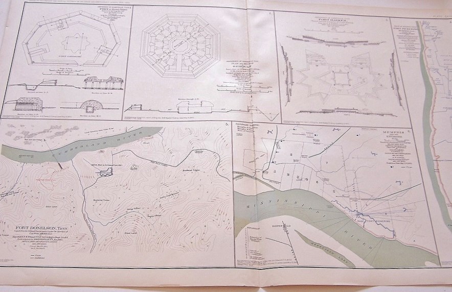


CIVIL WAR MAP-PLATE 114-ATLAS OFFICIAL RECORD,1893,DEFENSES NASHVILLE, DONELSON
$1,894.51 MXN
Los buques de
United States

Las opciones de envío
Los buques de 2 business days Detalles
No hay precio de envío se especifica en MX
Los buques de
United States
La política de devoluciones
None: All purchases final
Detalles
Protección de compra
Opciones de pago
PayPal accepted
PayPal Credit accepted
Venmo accepted
PayPal, MasterCard, Visa, Discover, and American Express accepted
Maestro accepted
Amazon Pay accepted
Nuvei accepted
Rasgos del artículo
| Categoría: | |
|---|---|
| cantidad disponible: |
Sólo uno en stock, para muy pronto |
| Condition: |
Very Good |
| Type: |
Map |
| Original/Reproduction: |
Original |
| Date Range: |
1800-1899 |
| Format: |
Atlas Map |
| Printing Technique: |
Lithography |
Detalles del anuncio
| Las políticas del vendedor: | |
|---|---|
| Envío de descuento: |
No ofrece el envío combinado |
| Publicado en venta: |
Más de una semana |
| Artículo número: |
1093455781 |
Descripción del Artículo
This plate came from The Atlas to Accompany the Official
Records of the Union and Confederate Armies. The Atlas
was published between 1891 and 1895 and is the definitive
source of Civil War information available. . Of the only 10,000 Published, less than 1,000 Complete Atlases Remain.
This Plate contains the following map(s).
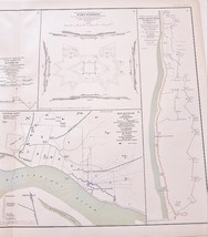
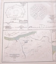
Plate CXIV
1. Defenses of Nashville, Tenn. Fort at Hyde's Ferry;
2. Defenses of Nashville, Tenn. Plan and Section of Redoubt;
3. Defenses of Nashville, Tenn. Fort Harker;
4. Trace of Interior Crest Fort Pickering, Memphis, Tenn.;
5. Fort Donelson, Tenn.;
6. Memphis and its Environs.
Made by The War Records Office, 1893-color lithograph-about 19 inches by 29 inches.
Map is in Very Good condition. Single fold as issued. Not a Reproduction. Original Lithograph Engraved by Julius Bien for the "The Official Atlas to Accompany the Official Records of the Union and Confederate Armies;" Commissioned by Resolution of Congress May 19, 1864, in accordance to serve
Added to your wish list!
- CIVIL WAR MAP-PLATE 114-ATLAS OFFICIAL RECORD,1893,DEFENSES NASHVILLE, DONELSON
- 1 in stock
- Handling time 2 day.
Get an item reminder
We'll email you a link to your item now and follow up with a single reminder (if you'd like one). That's it! No spam, no hassle.
Already have an account?
Log in and add this item to your wish list.